Heber Wild Horses
  • Save the Heber Wild Horses
  • About
  • VIDEOS
  • Important Links
  • Blog

From the Chronicles of the Heber Wild Horse Herd Part 27

1/24/2023

0 Comments

 
Picture
Picture
Picture
Picture
Picture
Picture
Picture

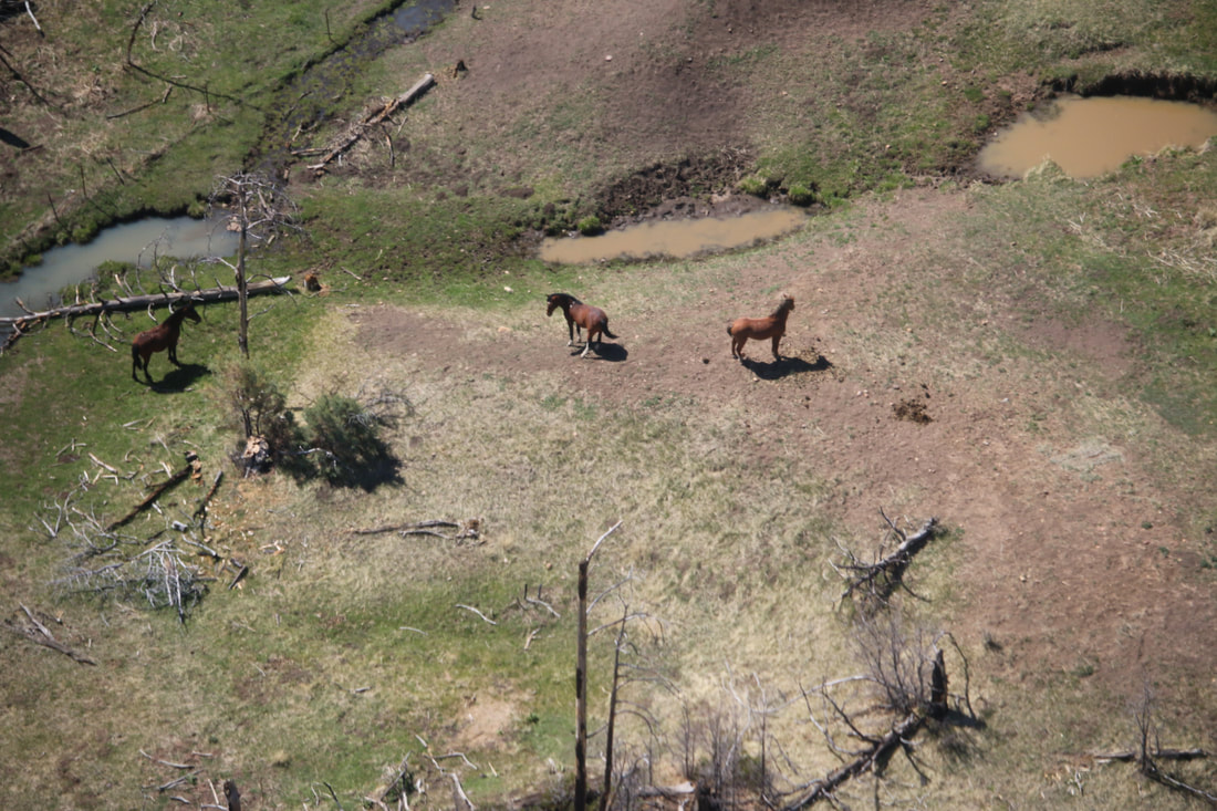
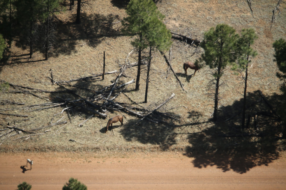
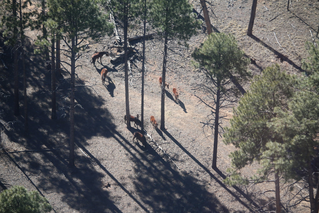
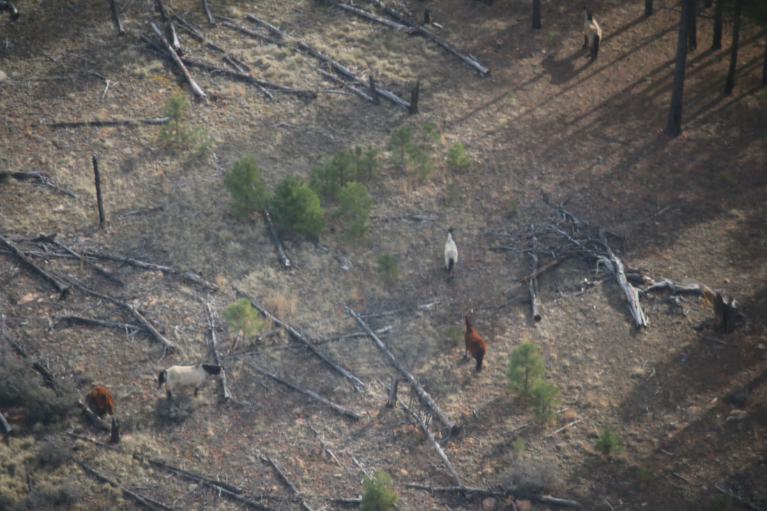
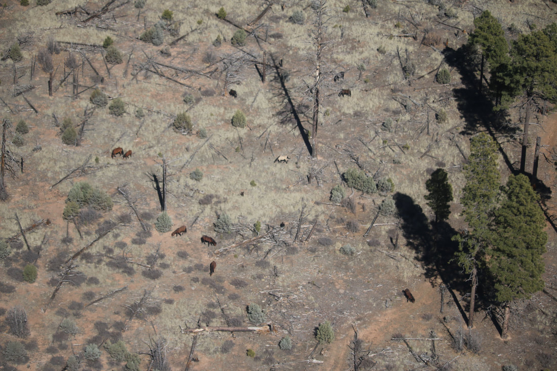
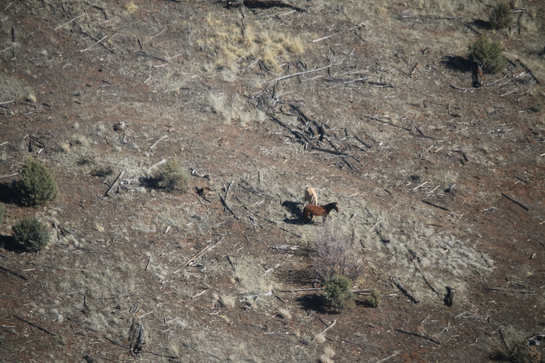
In May of 2014 the Forest Service conducted their first aerial wild horse inventory of the Apache-Sitgreaves. They followed up with another one in February of 2015 and some since then. Inventories are part of their preparation of the Heber Wild Horse Territory management plan.
​
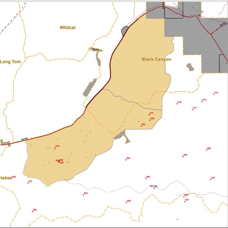
A sample of some of the numerous flight photos taken during the 2014 and 2015 inventories. Also a map showing where horses were seen during the 2014 inventory. Most of the horses are not in the Territory partially due to being unable to access a large part of it because of cattle pasture fences and natural geographical barriers. The Heber Wild Horse Territory draft management plan calls for the capture and removal of horses not using the Territory. Photos and map obtained through a FOIA request.
0 Comments


Leave a Reply.

    Picture

    Archives

    February 2023
    January 2023
    December 2022
    November 2022
    October 2022
    September 2022
    July 2022
    June 2022
    May 2022
    January 2022
    December 2021
    June 2021
    May 2021
    April 2021
    March 2021
    February 2021
    June 2020
    February 2020
    October 2018
    July 2018
    May 2018
    July 2017
    June 2017
    May 2017
    April 2017
    December 2016
    October 2016
    August 2016
    June 2016
    May 2016
    April 2016
    March 2016
    January 2016
    December 2015
    November 2015
    October 2015
    June 2015
    April 2015
    March 2015
    February 2015
    January 2015
    December 2014
    November 2014
    October 2014

    Categories

    All

    RSS Feed

Powered by Create your own unique website with customizable templates.